Conservation Projects
The Mitchell Dam
|
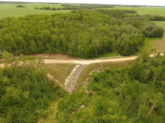
The Mitchell Dam is the third flood control dam built by Intermountain Conservation District (IMCD). It was constructed in the fall of 2018 with the co-operation of landowner Mervin Mitchell, as part of IMCD’s long-term strategy to reduce flooding, erosion and infrastructure damages in the district.
The Mitchell Dam is designed as dry dam, so as to not hold water permanently. Rather, it has an undersized culvert pipe installed through it so it restricts water flow during spring runoff and large storms. It holds water back for a few days instead of a few hours, reducing the energy of the water and decreasing downstream flood damages. Then the dam reservoir will empty itself, ready and waiting for the next storm event. |
Vertical Divider
|
Dam Construction Details:
Height of dam 2.5m (8ft) Retention Capacity 15ac/ft Drainage area 7800ac (12.2sq.mi) Culvert diameter 900mm (3ft) Culvert length 40m (130ft) Earth used in dam 3500cu.m. Rock in spillway 175cu.m. Cost $50,000 |
|
|
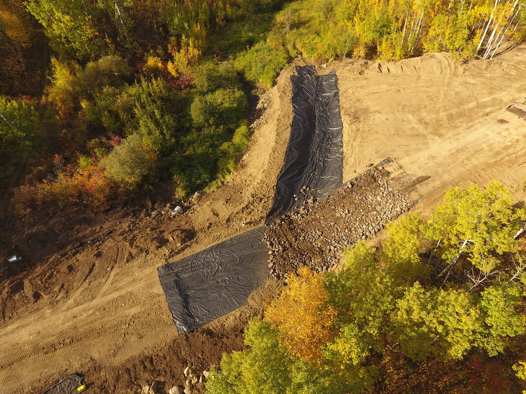
Streambank Stabilization
|
Streambank Stabilization with the RM of Dauphin
Location: SW-7-24-19w The main purpose of the project is to protect the road from falling into the creek but we were also able to work in a small rock dam to slow down water flows into the Vermillion River. 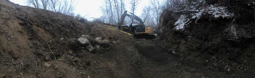
|
|
Grassed Waterway
|
Vertical Divider
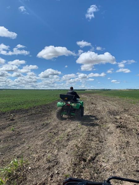
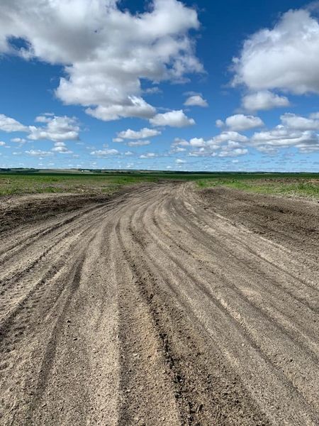
Seeded Grassed Waterway
Year: 2020 Location: SW 13-24-24w Seeded a water run to a grassed waterway, using a seed broadcaster on the quad. We then pulled the harrows behind the quad to cover the seed. When fully established, the grass will prevent water from eroding the waterway. |
|
Abandoned Well
|
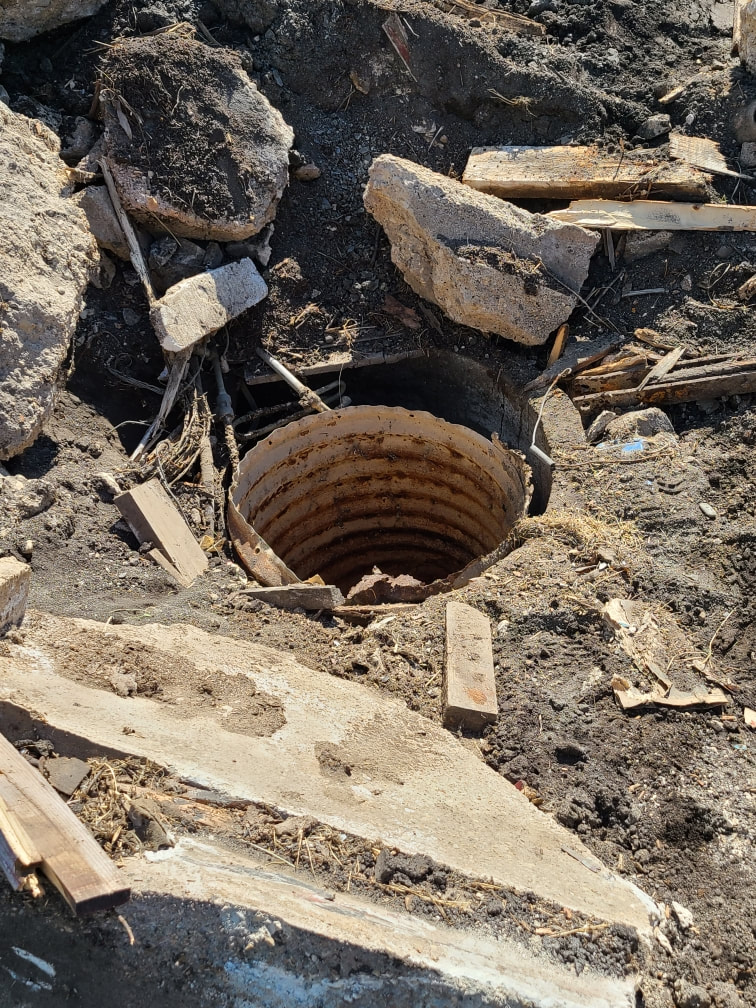
Abandoned Well Sealing
Year: 2021 Location: NW 3-31-22w This landowner had applied for his abandoned well to be sealed. We then filled the well with clay and bentonite. |
|
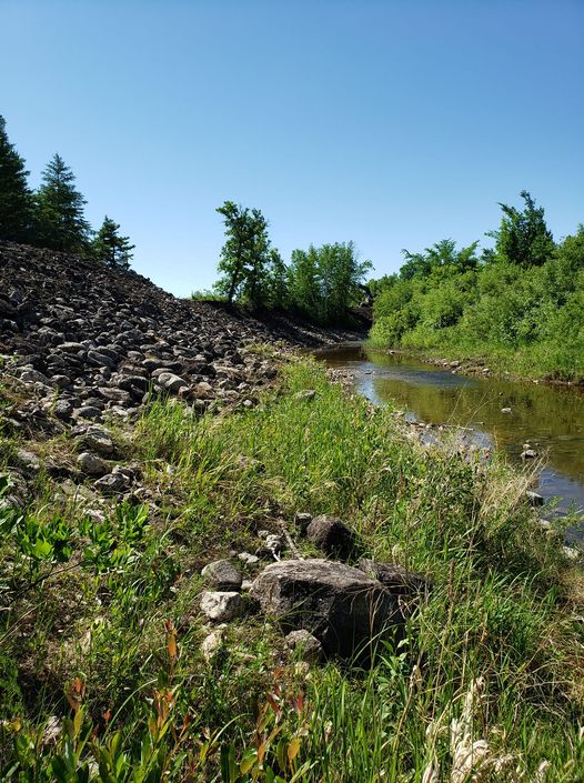
Streambank Stabilization
|
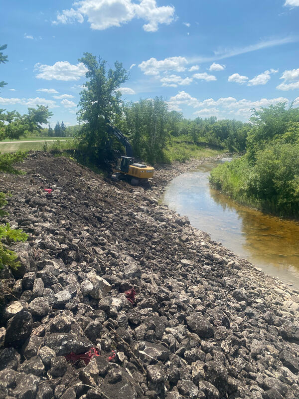
Streambank Stabilization Project
Year: 2021 Location: SW 25-29-19 This large streambank stabilization project has recently been finished. The rocks are being used to protect the streambank from falling into the river any further. Before repairs, this riverbank was straight up and down with fully exposed soil. Many tons of soil have washed down the river on towards Lake Winnipegosis from this site, but will no more! |

|